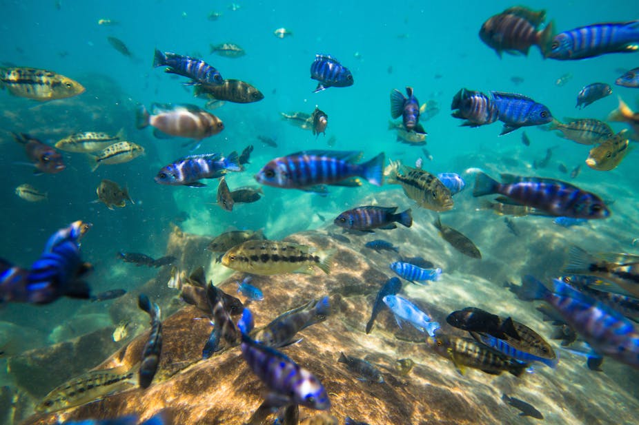
AFRICA

Tuesday, September 17, 2019

LAKE BANGWEULU πŸ’™πŸ’™πŸŒŠπŸŒŠ

Bangweulu — 'where the water sky meets the sky' — is one of the world's great wetland systems, comprising Lake Bangweulu, the Bangweulu Swamps and the Bangweulu Flats or floodplain. Situated in the upper Congo river basin in Zambia, the Bangweulu system covers an almost completely flat area roughly the size of Connecticut or East Anglia, at an elevation of 1,140 m straddling Zambia's Luapula and Northern province. It is crucial to the economy and biodiversity of northern Zambia, and to the birdlife of a much larger region, and faces environmental stress and conservation issues.
With a long axis of 75 km and a width of up to 40 km, Lake Bangweulu's permanent open water surface is about 3,000 km², which expands when its swamps and Floodplins are in flood at the end of the rainy season in May. The combined area of the lake and wetlands reaches 15,000 km². The lake has an average depth of only 4 m.
The Bangweulu system is fed by about seventeen rivers of which the Chambeshi river (the source of the Congo River) is the largest, and is drained by the Luapula River.
A notable feature of the Bangweulu system is a series of parallel sandy ridges running south-west to north-east. These are particularly striking in satellite photographs and are easily seen along the north-western shore, the Lifunge Peninsula , Mbalala Island , Chilubi Island , and the Kapata Peninsula . They divide the lake into three sections parallel to its main axis. One divides off a section called Lake Chifunabuli , 50 km long but only 5 km wide. Its entrance through a gap in the sand spits (at the end of Lifunge Peninsula) is only 250 m wide. Another sandy ridge, Mbabala Island, divides off a section called Lake Walilupe , 30 km long by 13 km wide. The main, middle section of the lake between Ifunge and Mbabala is known only as Bangweulu.
There are numerous bays, inlets, smaller lakes and lagoons around Lake Bangweulu, connected by open water, narrow channels or swamps. The largest is Lake Kampolombo, 30 km by 5 km, south of Lake Walilupe and connected to it by a 7 km channel. The 32 km long Kapata Peninsula lies between Lake Kampolombo and the swamps; at its tip on the eastern side is the 15 km long Lake Kangwena .
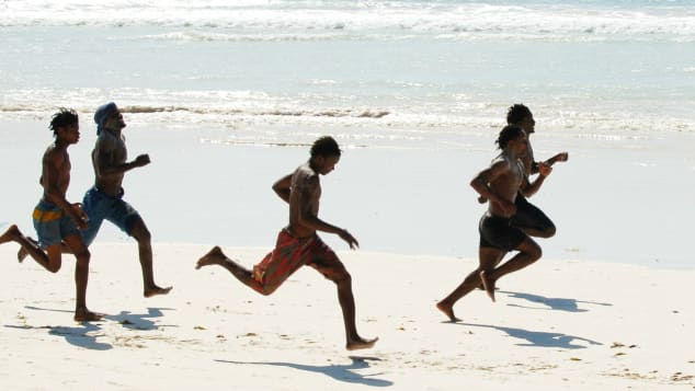
Only the western side of the lake and some of the islands have a well defined shore, with sandy beaches in places especially around Samfya, though even there, some of the bays and inlets are swampy.
Image result for lake bangweulu pictures

The Bangweulu Swamps, larger than the lake, extend from the north-west clockwise around to the south. The main part covers an area of roughly 120 km by 75 km and they are normally not less than 9,000 km².
The swamps act as a check on annual flooding downstream in the Luapula by releasing water slowly through many lagoons and channels. They help prevent the Luapula valley being flooded excessively in the rainy season.

SAMFYA BEACH πŸŒ•πŸŒŠπŸ’™

Samfya is a town located in the Zambian province of Luapula. It is the center of Samfy District. The town is located on the south-western shore of Lake Bangweulu, on the longest stretch of well-defined shore of that lake (the northern, eastern and southern margins of which are marshy). Samfya has a few guesthouses and a number of white sandy beaches which are used for recreation, although the lake does have crocodiles.
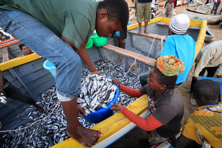
In addition to local government offices and branches of national agencies, Samfya is a commercial and fishing centre, as well a centre for transport by boat to islands and other areas of the lake. Its hinterland includes farms and some timber plantations.
The Kwanga Festival of the Ngumbo people is held in Samfya in October.
Samfya is on a tarred road opened in 1983 to link the Luapula Province to the Great North Road at Serenje. This includes the longest bridge in Zambia, the Luapula Bridge in the far south-east corner of the district near where four districts meet: Samfya, Mpika, Serenje and the Congo Pedicle, part of the Democratic Republic of Congo. Gravel roads also connect Samfya to Twingi, Kapalala, and Lubwe.
Image result for lake bangweulu pictures

ZAMBIA THE REAL AFRICA...LETS EXPLOREπŸ’œπŸ’™


Sunday, September 15, 2019

LAKE MALAWI πŸ’™πŸ’™πŸŒˆπŸŒˆπŸŒŠπŸŒŠ

Malawi is known to be the warm heart of Africa because of the accommodating culture that has grown over years and years of tourism.It's a small landlocked country without a lot of resources however beauty is something it does not lack. Especially considering it is the home of the world's ninth largest freshwater lake. 

Lake Malawi.

A visit to Lake Malawi and you can't help but notice the rich golden sand along it's shores and that's just an introduction to the clear water and it's blueness. Providing a heavenly scenery. Stretching 560 kilometers long and 75 kilometers wide. The lake’s deepest point being 706 meters. 

Image result for lake malawi

The lakeside lifestyle is laid-back and dreamy. Days are a happy haze of short beach strolls, snorkelling, kayaking, diving and  boat cruises.The islands that supplement the lake are so harmonious and natural providing a magical getaway.

As if the beauty was not enough, Lake Malawi is gifted with over 1000 unique species of fish. Some that are good for the eyes and some that are good for the tummy. It's inspiring.

As a result of this exceptional diversity the lake is considered a global biodiversity treasure because almost all of the species that it contains occur nowhere else on the planet.

The locals will introduce you to the tasty meals sourced  from the lake. The Chambo fish being an exquisite example that’s flavorful and endemic to Malawi.

Image result for lake malawi

Apart from it's allure, the Lake is quite the provider. Malawi's economy largely depends on tourism and fishing helps fishermen keep their households supplied. Not forgetting it connects the country via the lake with water transport Completing its work of art..

So if you are a fan of sun basking, sand and swimming lake malawi is definitely a paradise for you. If you’re interested in  researching about fish species Lake Malawi is quite the learning ground.

Image result for lake malawi

Saturday, September 14, 2019

CAIRO πŸͺπŸͺπŸŒ•πŸŒ•

Egypt, a country linking northeast Africa with the Middle East, dates to the time of the pharaohs. Millennia-old monuments sit along the fertile Nile River Valley, including Giza's colossal Pyramids and Great Sphinx as well as Luxor's hieroglyph-lined Karnak Temple and Valley of the Kings tombs. The capital, Cairo, is home to Ottoman landmarks like Muhammad Ali Mosque and the Egyptian Museum, a trove of antiquities

Cairo (ؓΩ„Ω‚Ψ§Ω‡Ψ±Ψ© al-Qāhirah) is the capital of Egypt and, with a total population in excess of 16 million people, one of the largest cities in both Africa and the Middle East (the regions which it conveniently straddles). It is also the 19th largest city in the world, and among the world's most densely populated cities.

On the Nile river, Cairo is famous for its own history, preserved in the fabulous medieval Islamic city and Coptic sites in Old Cairo. The Egyptian Museum in the centre of town is a must see, with its countless Acient Egyptian artefacts, as is shopping at the Khan al-Khalili bazaar. No trip to Cairo would be complete, for example, without a visit to the Giza pyramid, and to the nearby Saqqara Pyramid complex, where visitors will see Egypt's first step pyramid built by the architect Imhotep for the third dynasty Pharaoh, Djoser.
Image result for modern cairo egypt


 Cairo is also home to a vibrant modern society. The Midan Tahrir area situated in downtown Cairo area, built in the 19th century under the rule of Khedive Ismail, has strived to be a "Paris on the Nile". There also are a number of more modern suburbs including Ma'adi and Heliopolis, while Zamalek is a quiet area on Gezira Island, with upmarket shopping. Cairo is best in the fall or spring, when the weather isn't so hot. A felucca ride on the Nile is a good way to escape from the busy city, as is a visit to Al-Azhar Park.
Indee cairo's life has been quite victorious. Egypt is the land of so many rich civilization the great Pharaohs of Egypt, the Greeks, Babylonians Romans Muslims with the introduction of Islam. Cairo inherited from this wealth and has been a great melting pot. Egypt as a whole and cairo in particular is like an open museum with monuments  reflecting different periods of the worlds history. As  Africa's second largest city cario is a vibrant city with the oldest and largest film and music industries in the Arab world.


PYRAMIDS

The Great Sphinx of Gaza s a limestone statue of a reclining sphinx, a mythical creature with the body of a lion and the head of a human. Facing directly from West to East, it stands on the Giza Plateau on the west bank of the Nile in Giza, Egypt.One of the Seven Wonders of the Ancient World and a star attraction in Egypt, the pyramids of Giza offer a completely different experience at night, when lasers, lights, and visual projections bring their history to life. Here’s how to visit the pyramids after dark.

Image result for picture of the pyramid in the night

  Related image

The Pyramid of Khafre or of Chephren is the second-tallest and second-largest of the Ancient Egyptian Pyramids of Giza and the tomb of the Fourth-Dynasty pharaoh Khafre, who ruled from c. 2558 to 2532 BC.


Image result for camel rider in egypt pictures

Luxor is a city on the east bank of the Nile River in southern Egypt. It's on the site of ancient Thebes, the pharaohs’ capital at the height of their power, during the 16th–11th centuries B.C. Today's city surrounds 2 huge, surviving ancient monuments: graceful Luxor Temple and Karnak Temple, a mile north. The royal tombs of the Valley of the Kings and the Valley of the Queens are on the river’s west bank.
Both east-bank temples have preserved statues, columns, obelisks and hieroglyphics, plus sound-and-light shows at night. The west-bank necropolis includes the tombs of Tutankhamun and Ramses III, which is adorned with colorful 2000-year-old reliefs. The Luxor Museum displays artifacts recovered from many of the tombs, while the Mummification Museum sheds lights on mummification techniques. The Mortuary Temple of Queen Hatshepsut is backed by towering cliffs. Traditional felucca sailing boats, cruise ships and hot-air balloons provide trips on or above the river. Many of the modern hotels and restaurants in Luxor overlook the water.
The desert surrounds your every step and you walk forever a thirsty man. πŸŒ†πŸŒ‡πŸŒ•πŸŒ• 


Thursday, September 12, 2019

Amazing Victoria falls 😍🌊
David Livingstone the Scottish missionary and explorer, is believed to have been the first European to view Victoria Falls on 16 November 1855, from what is now known as Livingstone Island, one of two land masses in the middle of the river, immediately upstream from the falls near the Zambian shore. Livingstone named his sighting in Honour of Queen Victoria of Britain, but the indigenous lozi language named it Mosi-oa-Tunya "The Smoke That Thunders" continues in common usage as well. The world Hertiage list officially recognizes both names. Livingstone also cites an older name, Seongo or Chongwe, which means "The Place of the Rainbow"🌈🌈🌈 as a result of the constant spray.
The nearby national park in Zambia is named Mosi-oa-Tunya, whereas the national park and town on the Zimbabwean shore are both named Victoria Falls.
The Victoria Falls is one of the Seven Natural Wonders of the World and the major waterfall on the Zambezi River in Africa. It is famous for being the largest waterfall in the world, in the wet season. The water makes a roaring noise as it falls over the cliff and down into the Zambezi River below. A cloud of water vapor is always seen around the falls, such wanders are breathe takingπŸ™πŸ˜πŸ˜.
The Victoria Falls on The Zambezi River is located on the border  of Zambia and Zimbabwe in Africa. The Zambezi River is the largest river in Africa and one of the  longest, it Flows 1687 miles across Zambia, Angola, Namibia, Botswana, Zimbabwe and Mozambique until it reaches the Indian Ocean 🌊.
Image result for picture of the victoria falls   width 1687 miles, height 108 miles, flow rate 1088 m3/s

Adventure activities

  • Bungee jumping
  • White water rafting on the Zambezi river
  • Zipline, Gorge swing and Fox Flying
  • Devils pool  (swim on the edge of the Victoria falls)
  • Helicopter and microlight flight over the Victoria Falls
  • Tandem Skydiving 


The beauty of the falls lies in their natural state, but the area is at some risk of runaway tourism-based development—more resorts, hotels, and even a possible dam below the falls that could flood several park gorges.


If you truly love Nature, you will find beauty everywhereπŸ’š.


Monday, August 26, 2019

Let your mind and thoughts would will you relax on the beautiful beach with the sounds of the waves and birds chipping...the pretty blue sky just like the lovely blue eyes 😍😍...nature is beautiful and  caring knowing how to connect and understanding it.

Sharm el-Sheikh, Egypt

Sharm el sheikh has become Egypt's resort capital for good reason: the warm, crystal waters and wide beaches are great for swimmers and sunbathers and it's the gateway to some of the best diving in the world, along the reefs of the Red Sea.


Diani Beach, Kenya


Diani Beach is an idyllic 20-kilometer stretch of palm-fringed beach is kept pristine and clear of seaweed by the coral reef just offshore. This coastal paradise has become one of Kenya's most popular beaches.